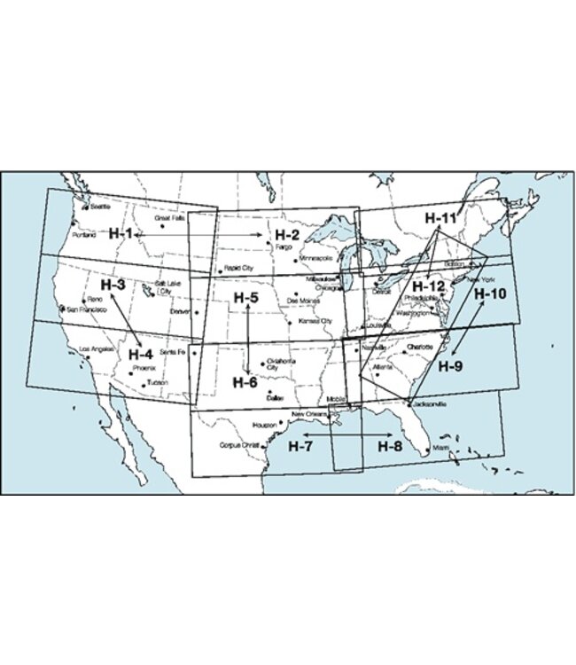
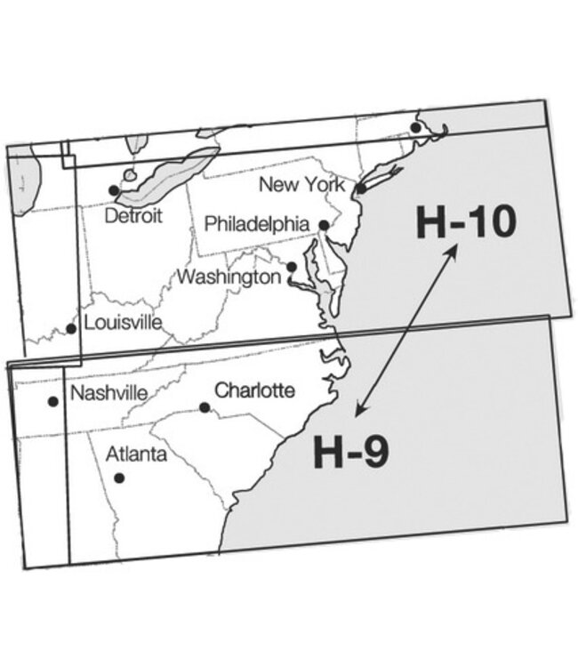
IFR Enroute High Altitude Charts (Conterminous U.S. and Alaska) are designed for navigation at or above 18, 000 ft MSL. This four color series includes: * Jet Route Structure * RNAV Q-Routes * VHF radio aids to navigation (frequency, ID, channel, geographic coordinates) * Selected airports * Reporting Points * NRS (Navigation Reference System) Waypoints * Revised every 56 days,>