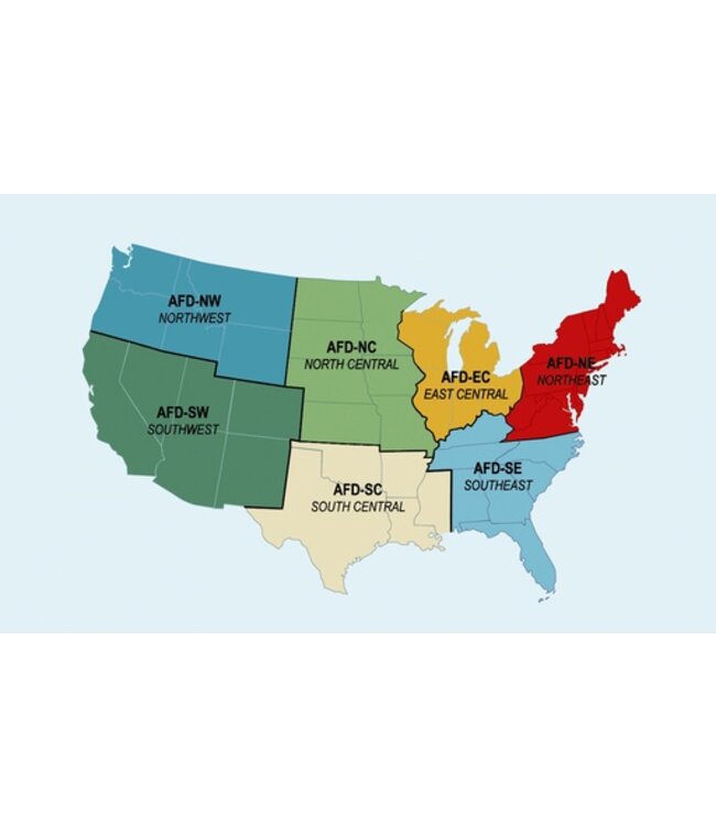
The Chart Supplement, formerly called the Airport/Facility Directory, is a listing of data on record with the FAA on all open-to-the-public airports, seaplane bases, heliports, military facilities and selected private use airports specifically requested by the Department of Defense (DOD) for which a DOD instrument approach procedure has been published in the U.S. Terminal Procedures Publication, airport sketches, NAVAIDs, communications data, weather data sources, airspace, special notices, VFR waypoints, Airport Diagrams and operational procedures. Seven volumes cover the conterminous United States, Puerto Rico, and the Virgin Islands. The Chart Supplement includes data that cannot be readily depicted in graphic form; e.g., airport hours of operation, types of fuel available, runway data, lighting codes, etc. The Chart Supplement is designed to be used in conjunction with charts and is published every 56 days. The Chart Supplement also contains the Aeronautical Chart Bulletin. The purpose of the bulletin is to provide major changes, in aeronautical information, that have occurred since the last publication date of each VFR Sectional, Terminal Area and Helicopter Route Chart listed. Volumes are side-bound 5 3/8 x 8 1/4 inches.Table of Contents includes general information, Airport/Facility Directory Legend, Airport/Facility Directory, Notices, Associated Data, and Airport Diagrams.